
More specifically:
a. Darjeeling and Kurseong area had landslides just as the SW monsoons entered the region on 12/13Jun 2020. Many of these landslides are documented here.
b. Kalimpong district which had almost no rain during this onset period, had intense rain on 17Jun which triggered a number of slides in the district.
c. Mangan (N Sikkim) and E Sikkim were the only places which had surplus rain over the winter months and continued to have very heavy rain towards June end and that triggered a number of landslides.
In order to maintain a record of the landslide events I am posting verified photos of some of them as submitted by HA members.
Kalimpong:


North Sikkim (District HQ: Mangan)27.4979° N, 88.5348° E


27.509787°N, 88.437531°E

Debris Torrent as seen from across the Teesta from Mangan. No loss of lives, some houses evacuated.
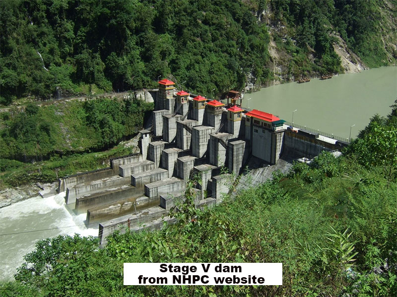
Landslide at NHPC Stage V 510 MW Dam at Dikchu, East Sikkim


Landslip on Dhotrey- Maneybhanjang road (22Jun2020?)


Rimbick- Lodhoma landslide (28Jun2020)
at Chota Hatta, Kankeybong.
at Chota Hatta, Kankeybong.


Breaches on NH55 (Siliguri to Darjeeling) near Pagla Jhora (Kurseong)
30Jun2020


My sincere thanks to all those who have volunteered their time and effort in 'HAZARDS ALERTS' (Whats App group) and elsewhere to provide the information and photographs for the above record.
Praful Rao
Kalimpong district
Darjeeling Sikkim Himalaya
No comments:
Post a Comment