Darjeeling town, received 105mm of rain over a approx 36 hour period, most of it coming down on 12Jun in intense bursts. Between 11-13Jun, Kurseong clocked an astounding 299 mm of rain and this not unusual since our experience shows that Kurseong certainly receives some of the heaviest rainfall in the region.
Six of the landslides which took place within the Municipal Limits of Darjeeling are shown in the map:-


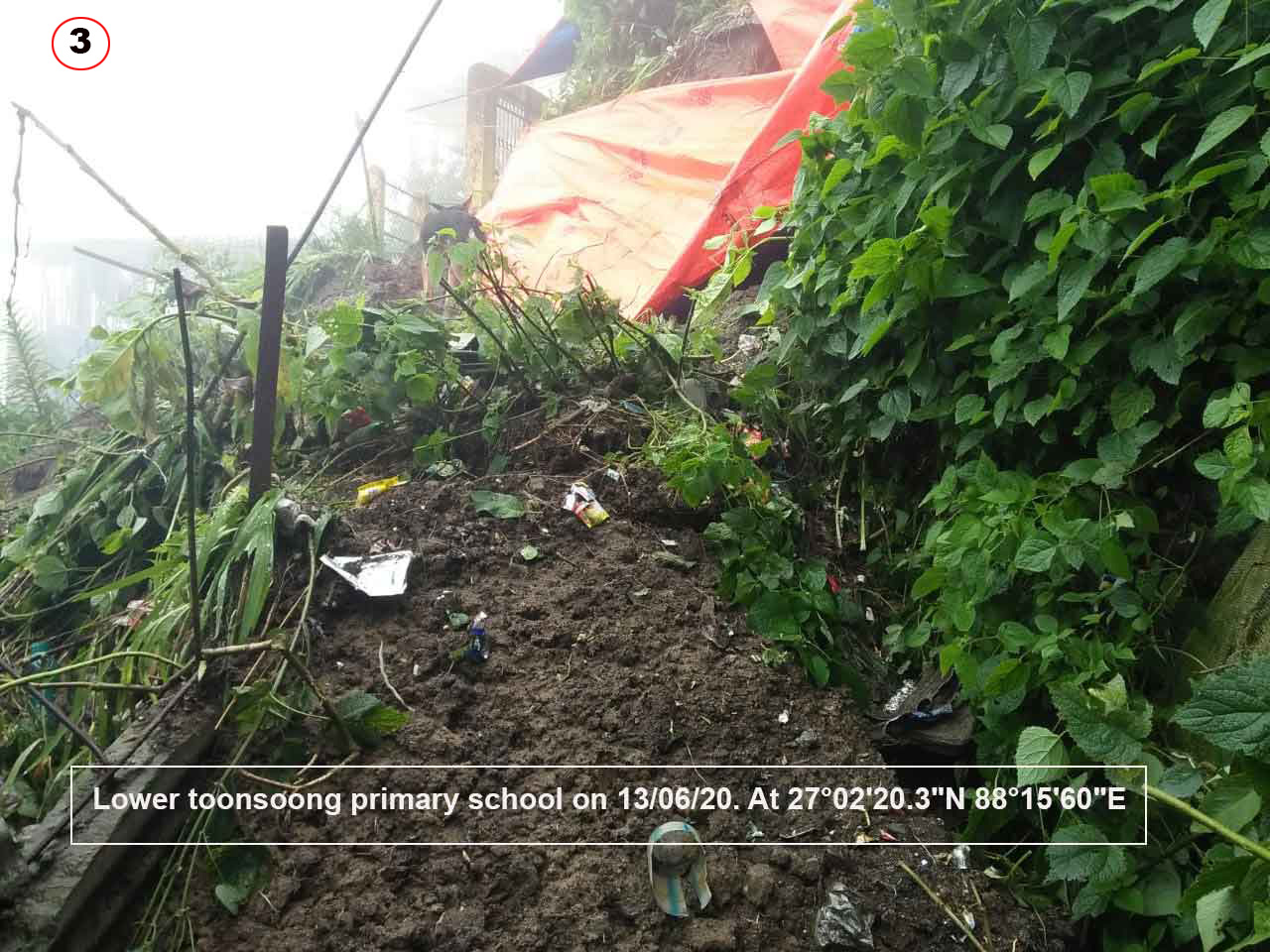


Coordinates of these landslides and two others which are known to have taken place at Kurseong and Mungpoo are given below:-

Images of the landslides at Mungpoo and Sivitar T.E, Kurseong are placed below:-

 Rainfall data of 2020 for our region is placed below:-
 From the rainfall data it is very evident that, except for Gangtok ie East and North Sikkim, the whole region has been deficient in rainfall not only in 2020 but from the end of the monsoon season in 2019. As such I wonder how 6 landslips (small landslides) were triggered by the first burst of heavy rain (109mm) in Darjeeling town?
It is not abnormal to receive 100mm of rain over a 24hr period during the monsoons, what is abnormal is that this rain coming after a prolonged dry period caused so many landslips in Darjeeling town.
Each of those slope failures were capable of taking human life and our experience over the years has been that it is these small landslides in an urban setting which cause most of the fatal landslides. Saying so, I am painfully reminded of a fatal landslide barely 5 mins walk from my home in Jun2010, at Tirpai Kalimpong when it rained only 45mm overnight. It snuffed out the lives of a young mother and her 2 school going children.
In saying so, I must point out that occurring in densely populated urban settings, the trigger for the landslide always has a human component and in most cases it boils down to managing our drainage system well. The high volumes of surface runoff from the intense rain in our towns must be drained away quickly and safely - otherwise they are bound to do mischief.
Praful Rao,
Kalimpong district
Darjeeling-Sikkim Himalaya


