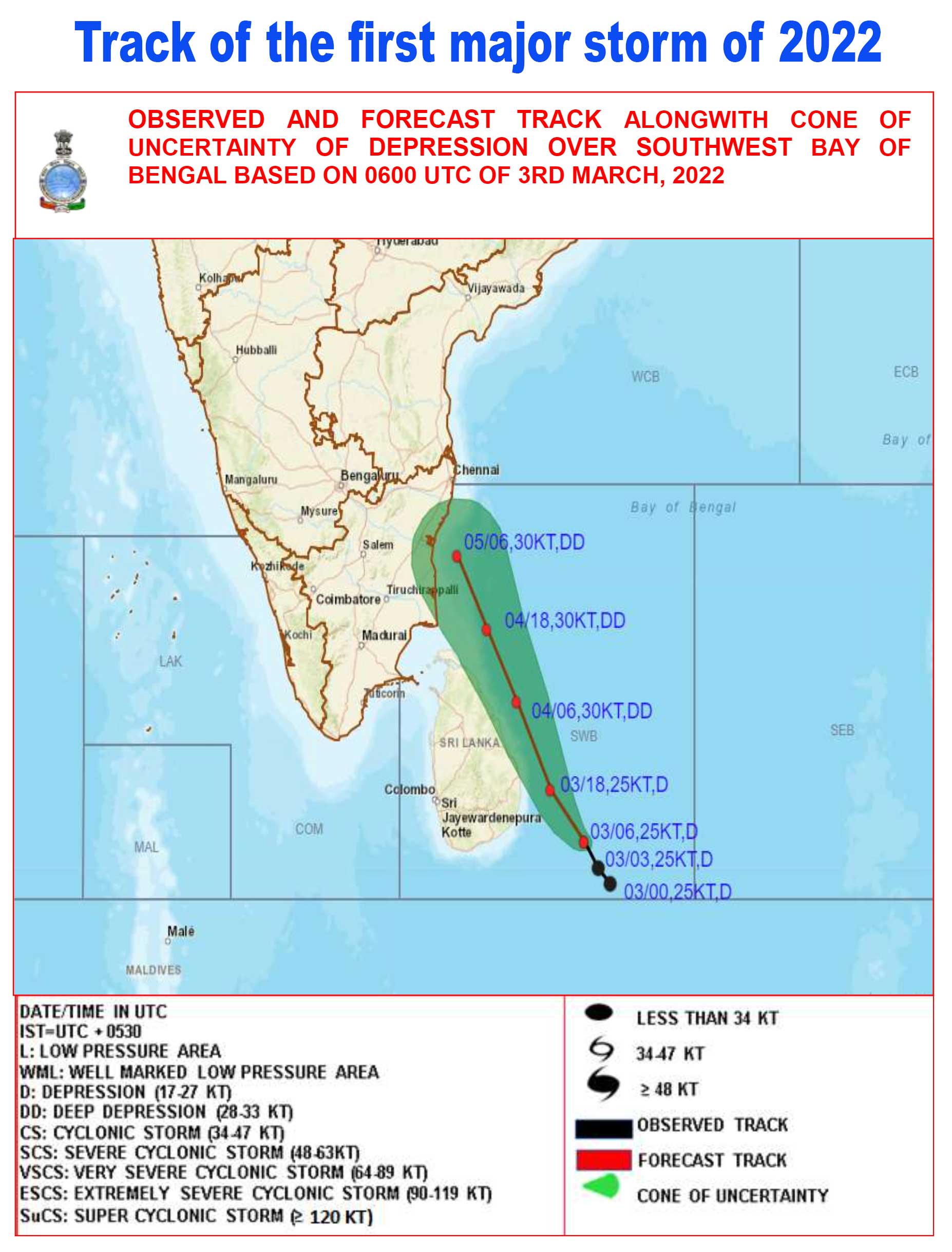
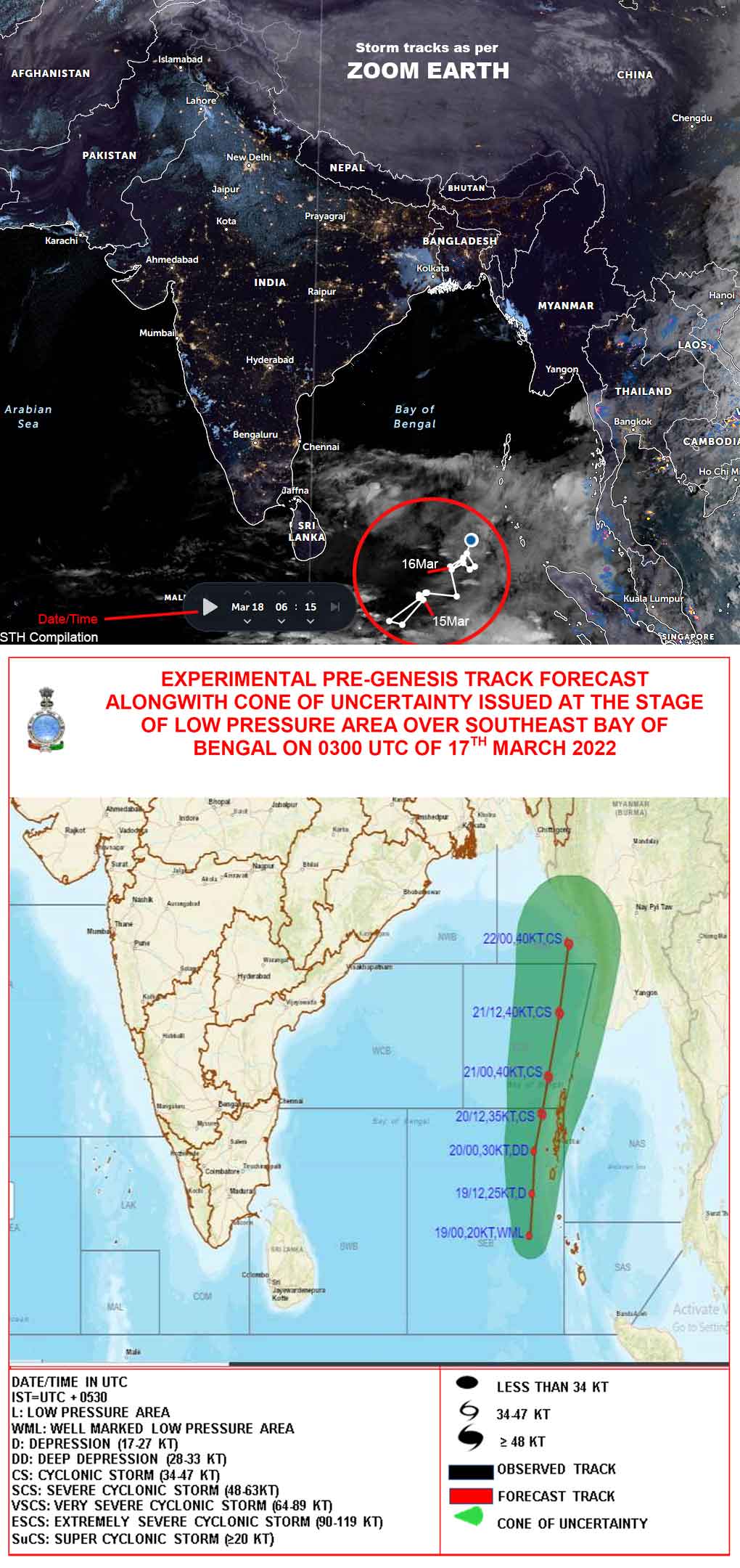
Satellite imagery of Storm 'Daniel' in the Mediterranean Sea
Meteorological data at a glance:
Greece:
- 24hr rainfall between 5-6Sep in village Zagora: 750mm (equal to 18months of rainfall in the area.
- Central Greece 400-600mm rain in 24 hrs.
- Number of casualties 15
Libya:
- Windspeeds: 70-80kmph
- Rainfall 150-240mm in many cities; 414.1 mm (from 10 Sep 8am to 11 Sep 8am) in Al-Badya.
- 2 Dams (Al-Bilad & Abu Mansoor) which collapsed were constructed in the 1970s by Yugoslav engineers.
- Map of Flood affected areas
Excerpts:
- World Meteorological Organization
Extreme rainfall from a storm system called Storm Daniel has hit
parts of the central and eastern Mediterranean, leading to devastating
flooding and loss of life in Libya, the worst affected country, as well
as in Greece, Türkiye and Bulgaria.
Up to 10,000 people were reported missing by the Libyan Red Crescent
Society, according to the International Federation of Red Cross and Red
Crescent Societies. The number of casualties was not immediately
confirmed, but hundreds were feared dead.
Storm Daniel developed in Greece and was named by the Hellenic National
Meteorological Service. As it moved towards Libya, Storm
Daniel developed the characteristics of a Medicane - MEDIterranean
hurriCANE. This hybrid phenomenon shows some characteristics of a
tropical cyclone and others of a mid-latitude storm. Activity
historically peaks between September and January.
The National Meteorological Centre issued early warnings for this
extreme weather event 72 hours before its occurrence, and notified all
governmental authorities by e-mails and through media urging them to
take more care and caution, and also urging them to take preventive
measures. A State of Emergency was announced in the eastern regions
based on these warnings.
The disaster highlights the need for the international Early Warnings
for All campaign launched by UN Secretary-General António Guterres. WMO
is partnering with the UN Office for Disaster Risk Reduction, the
International Telecommunications Union, the IFRC and a range of other
partners to ensure that early warnings reach everyone and lead to early
action.
As the planet warms, the expectation is that we will see more extreme
rainfall events, leading to more severe flooding because warmer air
holds more moisture.
- University of Reading (UK)
Early warning systems
Professor Hannah Cloke, professor of hydrology at the University of Reading, said: “To be effective, flood forecasting systems need good data on forecast rainfall and river levels, a network of well-maintained measuring instruments on the ground, and a clear plan to get people out of harm's way. The tragic death toll in Libya from the catastrophic flooding that has decimated a city shows what can happen if any parts of this chain are not in place or don't work properly. It seems likely that the worst of the flooding has been caused by a dam failure, although it is possible that very sudden, very heavy rain has caused flash floods on their own.
“Libya has far from the ideal economic or political conditions to provide adequate flood early warning systems.”
Dam failure
Professor Liz Stephens, Professor in Climate Risks and Resilience, said: “Much of the devastation from Storm Daniel in eastern Libya appears to be caused by catastrophic flooding from the failure of one or more dams following exceptional rainfall totals. The dams would have held back the water initially, with their failure potentially releasing all the water in one go. The debris caught up in the floodwaters would have added to the destructive power.
"Medicanes such as Storm Daniel are relatively rare, and tend to occur more frequently in the western portion of the Mediterranean Sea than the arid Libyan coastline. It is more difficult to understand the potential for catastrophic extreme events in an arid climate, where even moderate rainfall events are few and far between. This makes it a challenge to design and build resilient infrastructure.”
Storm Daniel
Professor Suzanne Gray, Professor of Meteorology, said: “Storm Daniel is a long-lived Mediterranean cyclone that has been active for more than a week since it formed as a low-pressure weather system around the 4h September.
“Intense Mediterranean cyclones with hurricane-like characteristics are termed medicanes (i.e. Mediterranean hurricane). These systems can even have the cloudless “eye” visible in satellite imagery that is characteristic of hurricanes.
“Medicanes are relatively rare, about 1-3 per year, but can have devastating impacts on landfall due to their associated flooding, storm surge and strong winds. Their genesis is mostly in the western Mediterranean and in the region extending between the Ionian Sea and the North-African coast.
“Fluxes of heat and moisture from the Mediterranean sea are usually considered to be important in medicane development and these fluxes are enhanced by warm sea surface temperatures.
“Medicane Ianos, one of the most devastating recent medicanes, had peak winds of 86 knots (99 mph) on landfall in Greece in September 2020, equivalent to a category two hurricane. It caused infrastructure damage and four fatalities.
“The IPCC 6th assessment report concludes that there is consistent evidence that the frequency of medicanes decreases with climate warming, but the strongest medicanes become stronger.”
Climate change
Professor Liz Stephens added: “Climate change is thought to be increasing the intensity of the strongest medicanes and we are confident that climate change is supercharging the rainfall associated with such storms. It would be interesting to evaluate whether, like 40 degree temperatures in the UK, the rainfall totals in eastern Libya would have been physically implausible without climate change. However, this is a complex question that would have to take into account any changes in storm track as well as the rainfall totals."
From the Guardian
After nearly a week of battering one country after another in a westward arc across the Mediterranean, Storm Daniel caused unprecedented floods in Libya that burst dams protecting the port city of Derna.
At least 2,300 are estimated to have died. At least 10,000 are missing. “I am not exaggerating when I say that 25% of the city has disappeared,” one government official told Reuters.
Now questions are being asked about how the storm had such an immense impact, and whether it was intensified by the change in Mediterranean weather patterns as a result of climate breakdown.
For months this summer, the region had already sweltered under an unprecedented heatwave. Scientists say that the heatwave raised sea surface temperatures, which could have encouraged the formation of a Mediterranean tropical-like cyclone, or “medicane”.
“While no formal attribution of the role of climate change in making Storm Daniel more intense has been conducted yet, it is safe to say that the Mediterranean sea surface temperatures have been considerably above average throughout summer,” said Dr Karsten Haustein, a climate scientist at Leipzig University.
“This is certainly true for the region where Daniel could form and wreak havoc over Greece and now Libya … The warmer water does not only fuel those storms in terms of rainfall intensity, it also makes them more ferocious.”
But the storm itself was not wholly to blame for the destruction wreaked on Derna, where infrastructure, including the burst dams, was already in a parlous state, according to experts. More than a decade after Libya’s cities were bombarded by Nato navies and warplanes supporting a revolt against Muammar Gaddafi, its former longtime ruler, the oil-rich country remains a shadow of its former prosperity. Like many poorer countries, Libya simply was not ready for the extreme weather Daniel brought.
“It is important to recognize that the storm itself is not just the single cause of the loss of life,” said Dr Kevin Collins, a senior lecturer on environment and systems at the Open University.
“It is also partly a function of Libya’s limited ability to forecast weather impacts; limited warning and evacuation systems; and planning and design standards for infrastructure and cities.
“As our climate changes, understanding, planning for and adapting to these more extreme types of events needs to be done by individuals, businesses, and communities in all countries.”
Prof Lizzie Kendon, Professor of climate science at the University of Bristol Cabot Institute for the Environment, said: “We expect the intensity of heavy rainfall to increase as the world warms. This will not be realised as a smooth trend, and we should expect the occurrence of extreme events unprecedented in the observational record.
“Storm Daniel is illustrative of the type of devastating flooding event we may expect increasingly in the future, but such events can occur just due to the natural variability of the climate – as they did in the past. Therefore, care is needed before linking any specific extreme event to climate change.”
Update from NASA (18Sep2023)
On Sept. 4, 2023, a low-pressure system developed over southeastern
Europe that would lead to devastating floods over Greece and other parts
of the region. The system was given the name “Daniel” by local
meteorological agencies. Daniel was dynamically driven by strong
cyclonic flow in the upper-level winds over southeastern Europe. The
upper-levels winds combined with low-level winds from the northeast
which supplied moisture from the unusually warm waters of the Aegean and
Black Seas to central Greece. According to satellite infrared and
microwave estimates from NASA's MUR and NOAA’s OISST v2.1
products, sea surface temperatures over much of the Aegean Sea were 1
degree Celsius warmer than average, while temperatures over most of the
western half of the Black Sea were between 2 and 4 degrees Celsius
warmer than average in early Sept. 2023. Warmer sea surface temperatures
can drive the transfer of heat and moisture to the lower atmosphere,
leading to more favorable conditions for heavy precipitation.
The above animation shows precipitation rates (in blue/yellow shading) and accumulations (in green/purple shading) from NASA’s IMERG
multi-satellite product from Sept. 3 - 7, 2023. Cloudiness is shown in
shades of white/gray using infrared geosynchronous satellite data.
Some of the worst flooding from Daniel was reported
in the area near the city of Volos on the central-eastern coast of
Greece, with several local gauges estimating values at or above ~16
inches (400 millimeters). IMERG estimated similar amounts of rainfall in
that region (shown in dark purple colors). Flooding extended far inland
as well, with cities and towns across central Greece seeing severe
impacts from Daniel. The city of Karditsa, which also saw high
accumulations from Daniel, was reported to have been set up as a staging
area for evacuations from several local villages on Sept. 7. In
addition to the flooding in Greece, the Bulgarian Black Sea coast was
also affected by the storm system, including the town of Tsarevo, which
saw accumulations over 6 inches (shown in light purple colors), leading
to severe flooding.
While most conventional precipitation measurements are confined to areas
near land-based weather stations, NASA’s IMERG product offers a unique
view into extreme storm systems, such as Daniel, that cover the ocean as
well as the land. By combining precipitation estimates from multiple satellites
that cover the entire Earth, IMERG allows scientists and disaster
monitoring professionals to see how precipitation varies across the
entire path of extreme storms.
Compiled by
Praful Rao
Kalimpong district
Darjeeling-Sikkim Himalaya
savethehills@gmail.com
9475033744
In the above article, Italics are mine.